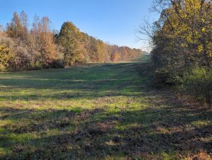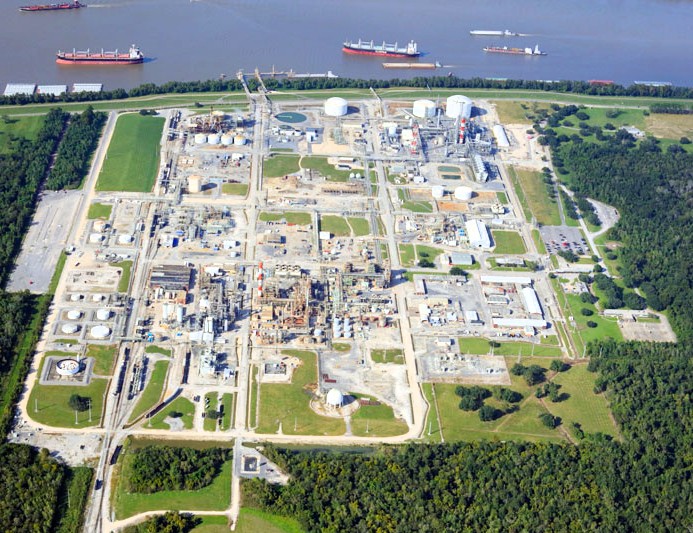
Location: DeSoto County, Mississippi
Providence provided regulatory compliance and permitting assistance for approximately 2,000 feet of FERC pipeline in Mississippi. Providence’s scope of work included threatened and endangered species surveys, wetland delineation and the preparation of wetland delineation report for preliminary jurisdictional determination, U.S. Fish and Wildlife Service project review and consultation, a Phase I Cultural Resource Survey, and hydrostatic testing for compliance with MDEQ water discharge permits.
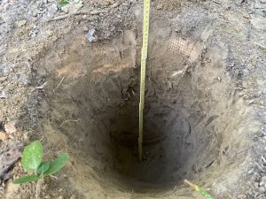
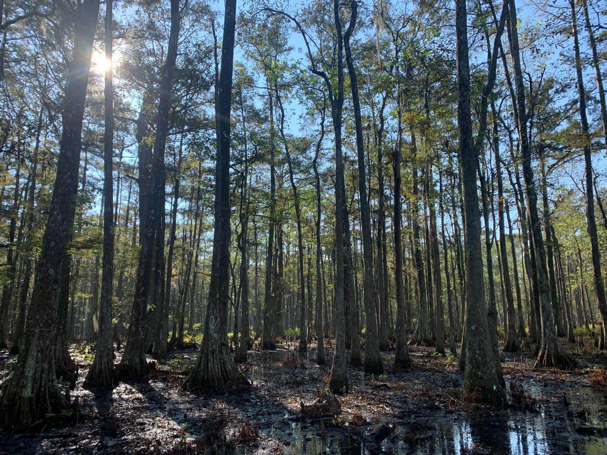
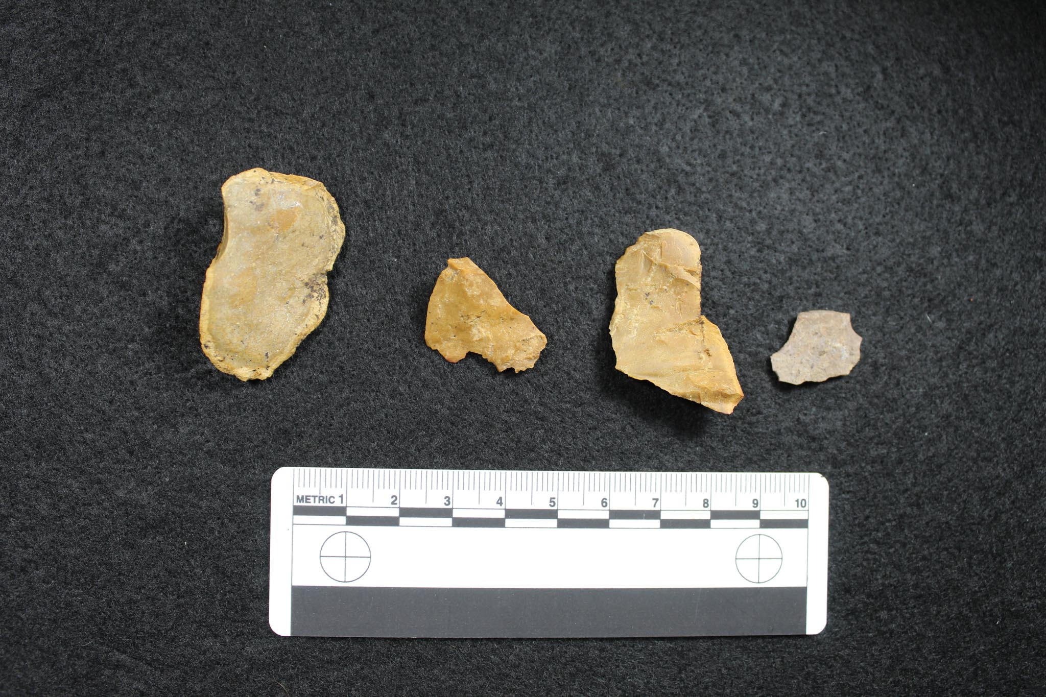
Providence biologists mobilized to the proposed project area and found evidence of all three diagnostic characteristics for wetlands at three of the 17 sample locations. Evidence of poor drainage found in association with hydric soils and predominately hydrophytic vegetation was found and Providence facilitated a request for preliminary jurisdictional determination. Providence biologists also conducted surveys for the federally listed species provided by the USFWS. The Phase I cultural resource survey consisted of approximately 74 acres for the direct area of potential effect divided between two project areas and an indirect area of potential effect consisting of a 250-foot buffer off the established project boundaries. The fieldwork consisted of a pedestrian and subsurface survey which resulted in the excavation of 179 shovel test pits and the recording of one new archaeological site. The aboveground survey included an assessment of one NRHP-listed district and three newly recorded aboveground resources. It was recommended that the project would not have any adverse effects on cultural resources and received SHPO concurrence. Providence also collected effluent samples to analyze hydrostatic test water samples prior to discharge.