Client: CPRA
Location: St. Bernard Parish, LA
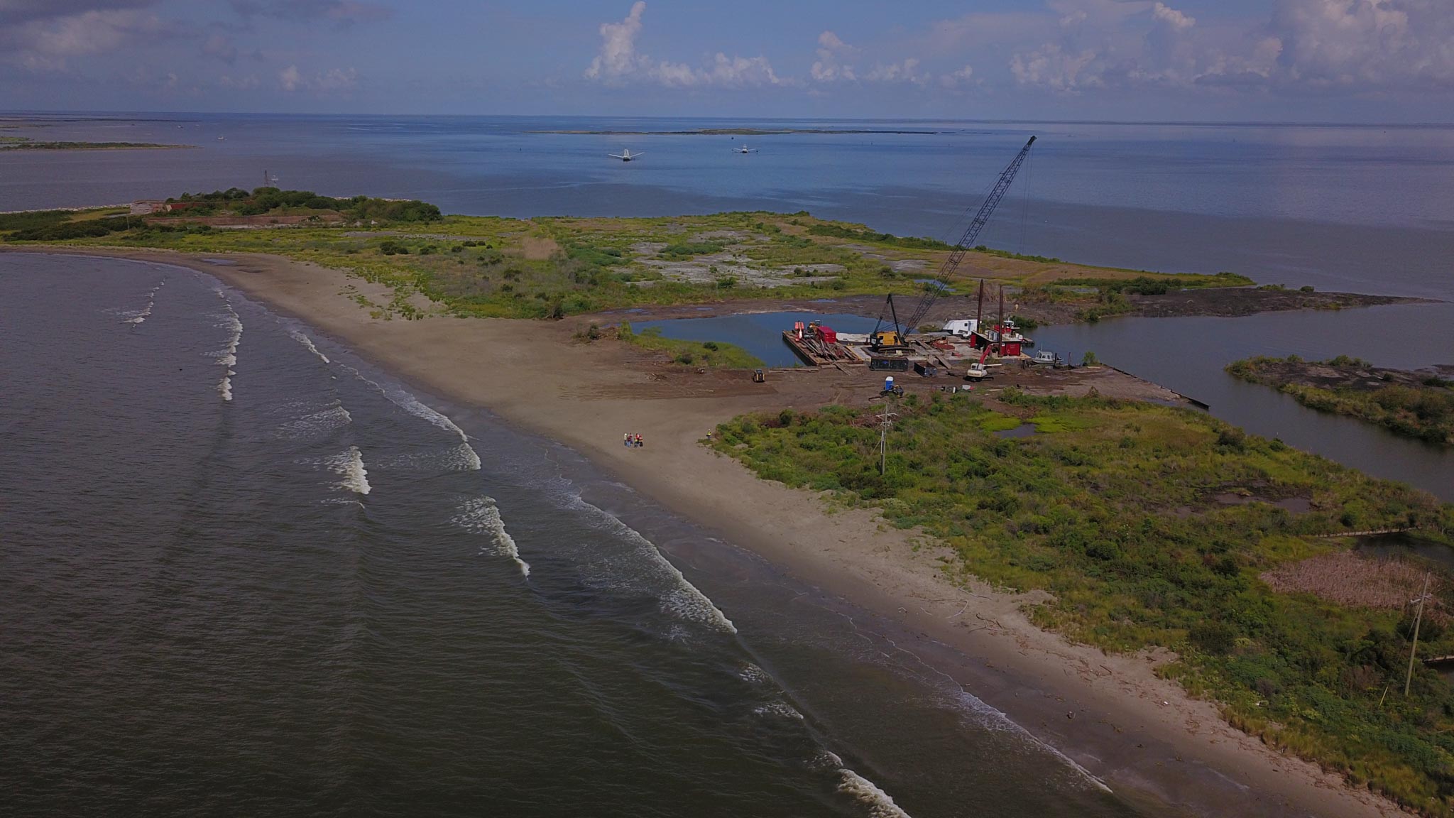
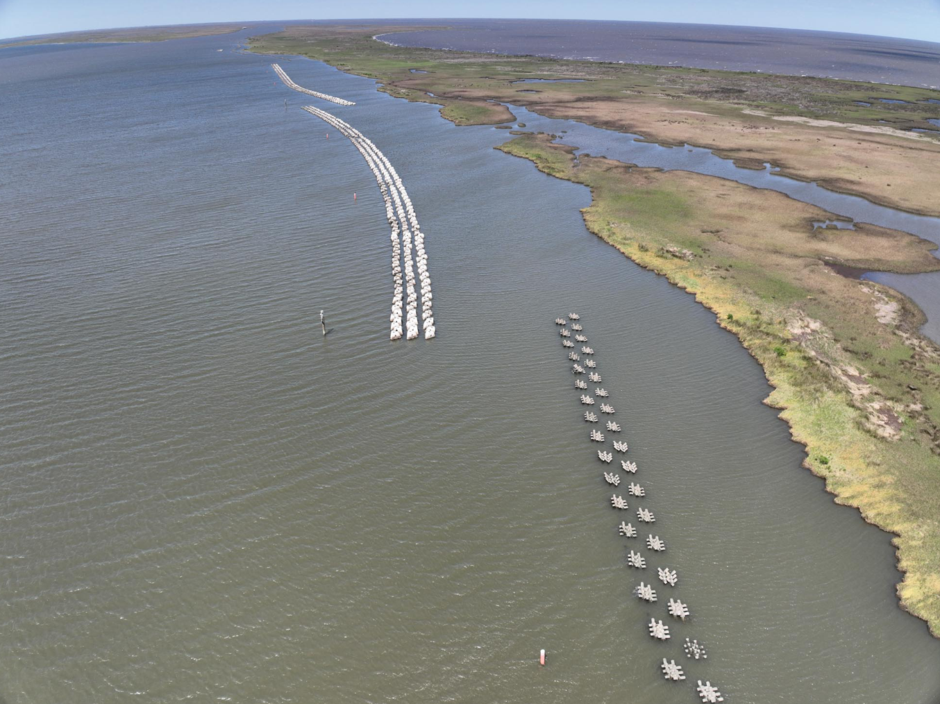
This project (PO-0174) was designed to provide protection to the eroding shoreline of the marshes in St. Bernard Parish, Louisiana, near the mouth of Bayou La Loutre, a previous distributary bayou of the Mississippi River into the Breton and Chandeleur Sound. The project encompasses approximately 11.5 miles of shoreline along the northern shore of Eloi Bay and is only accessible by boat. The project included the construction of a near-shore reef breakwater structure using two shoreline protection products.
Providence assisted CPRA with topographic and bathymetric survey services to monitor any receding marsh lines, any potential scour from wave/tides, and/or possible subsidence of the breakwater structures. Due to the weather and water conditions of the 12 project areas, Providence recommend utilizing aerial LIDAR to gather the elevation information for all the breakwater structures in each area. CPRA agreed and amended the current IDIQ to incorporate LIDAR technology. Providence mobilized its aerial LIDAR drone and surveyed all 12 project areas and then incorporated the collected LIDAR data into the convention topographic /hydrographic cross sections and provided the classified LIDAR LAS data to CPRA. Other project work included project coordination, attending planning and progress meetings, providing notice to landowners, and processing survey data according to CPRA Survey Standards.