Client: Energy Sector
Location: ORLEANS PARISH, LA
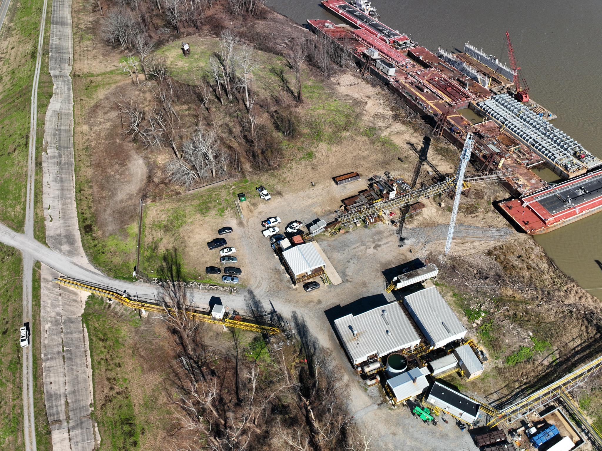
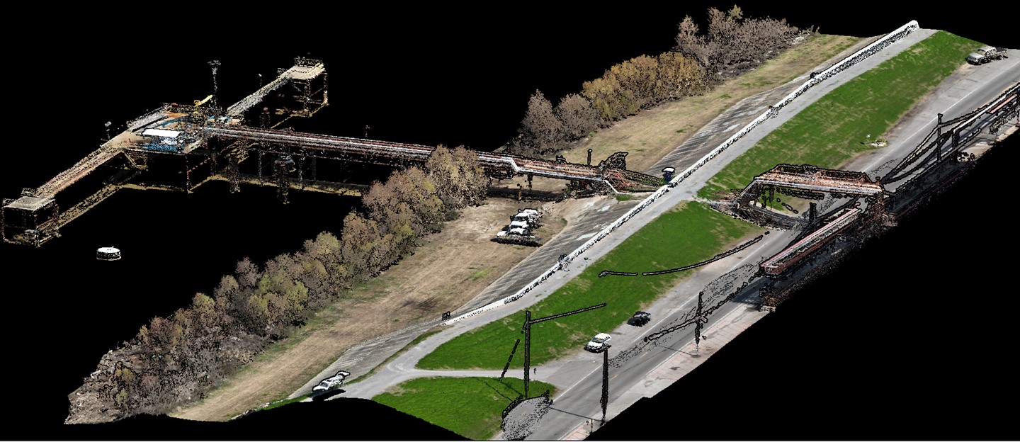
Providence conducted topographic and bathymetric surveys of the Mississippi River and adjacent batture, levee, and surrounding areas in order to confirm draft depths for vessels and barges using the terminals. Providence survey personnel performed single beam hydrographic surveys of the river bottom within the scoped area using a Trimble GPS/GNSS system in conjunction with a Sonarmite and conducted a GPS/RTK survey of the land to obtain all improvements that are on and/or penetrate the surface of the batture, levee and or grass area(s) and between the levee and the road. An additional single beam hydrographic survey was also conducted in the area adjacent to Docks 4, 1 & 2. Providence provided aerial orthographic images of the 4 docks in order to draft the approximate locations of each dock and the major improvements in and around each dock.